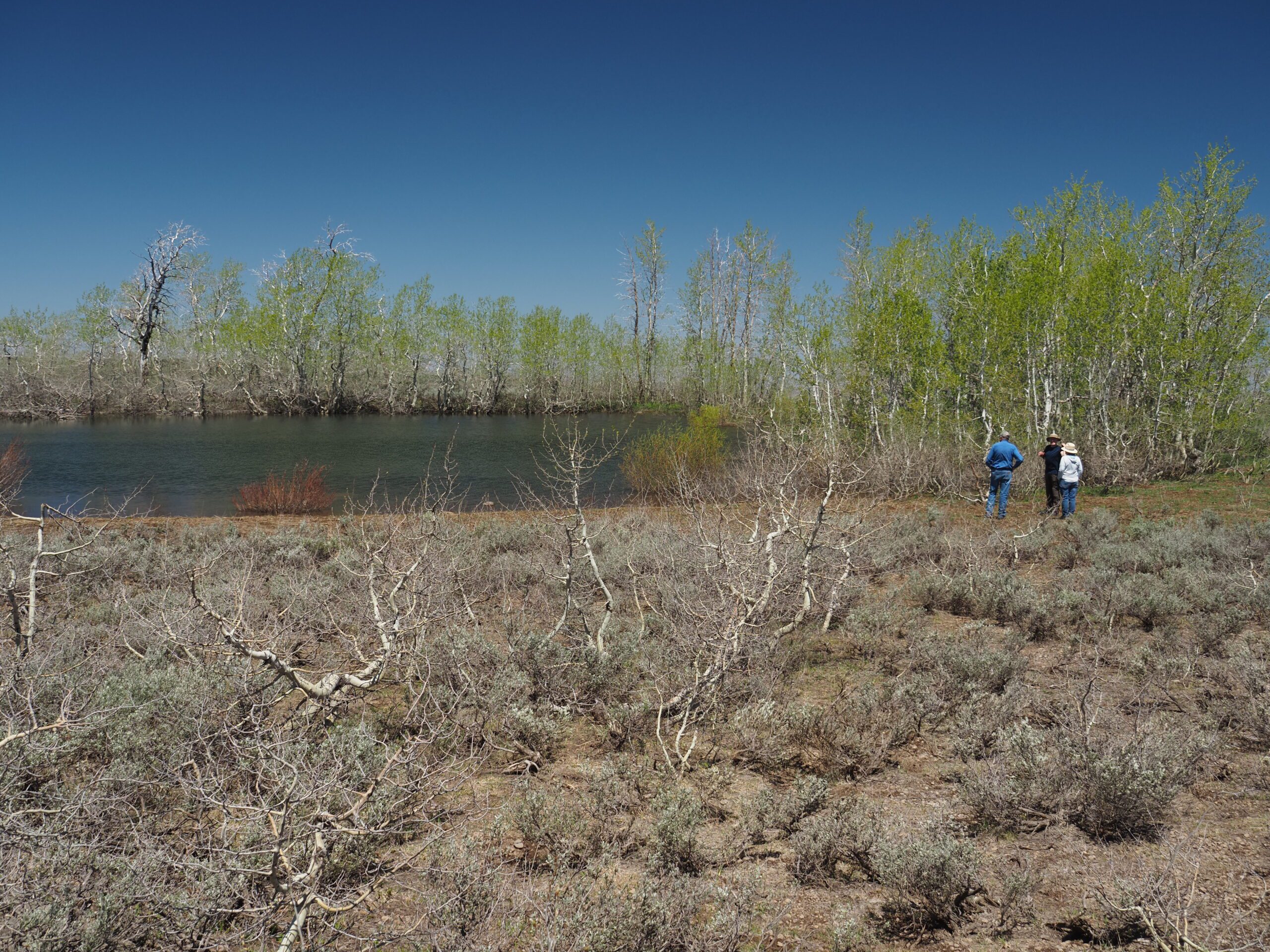
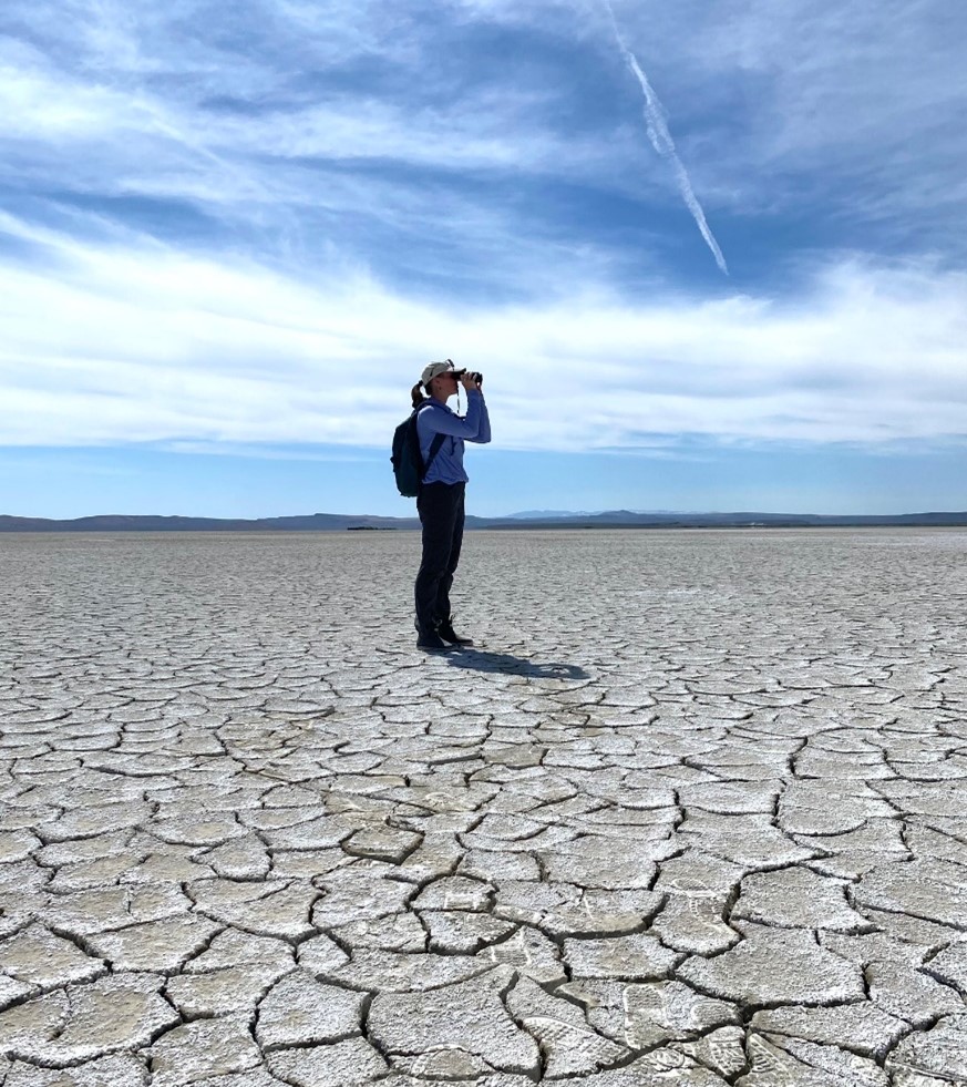
Written by Peter Pearsall/Photo by Alan Nyiri
During the middle to late Miocene epoch (approximately 8-12 million years ago), a series of volcanic eruptions poured Columbia River flood basalts across the Pacific Northwest, covering portions of southern Washington, western Idaho, and northern and eastern Oregon with extensive lava flows.
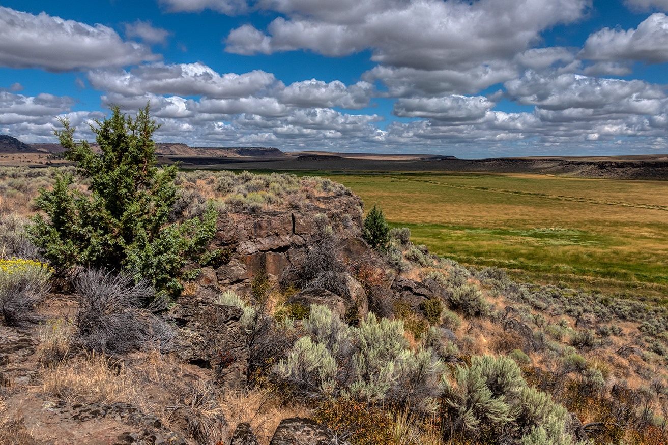
Harney Basin, where Malheur Refuge is located, was formed when lava flows reached the basin and eventually separated its watershed from the Malheur River, a tributary of the Snake River.
“Since the outpouring of the great sheets of lava that now cover most of this region, movements in the earth’s crust have disturbed them and altered the surface features,” notes the USGS report Geology and Water Resources of the Harney Basin Region, Oregon, published in 1909. “In some places the rocks have been bent into great low folds; in others immense blocks have been broken loose from adjacent parts of the crust and uplifted or depressed. By these movements and dislocations valley basins have been formed and escarpments have been produced that are now prominent features in the topography.”
Harney Basin is located within the Great Basin—a region encompassing nearly all of Nevada, much of Utah, and portions of California, Idaho, Oregon, Wyoming, and Baja California—that is characterized by parallel north-south mountain ranges interspersed with long, broad troughs of desert.
In much of the Great Basin, blocks of the Earth’s crust that fractured along fault lines have gradually tilted under their own weight, creating sloped mountain ranges. Steens Mountain is a striking example of this fault-block phenomenon: 50 miles long from north to south, its gentle western slope rising to 9,734 feet and dropping abruptly into the basin of the Alvord Desert, more than 5,000 feet below.

