Malheur National Wildlife Refuge is an oasis in the high desert of southeastern Oregon for the multitude of birds and other wildlife who make it their home.
Malheur - An Oasis in the Desert
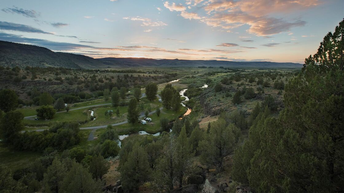
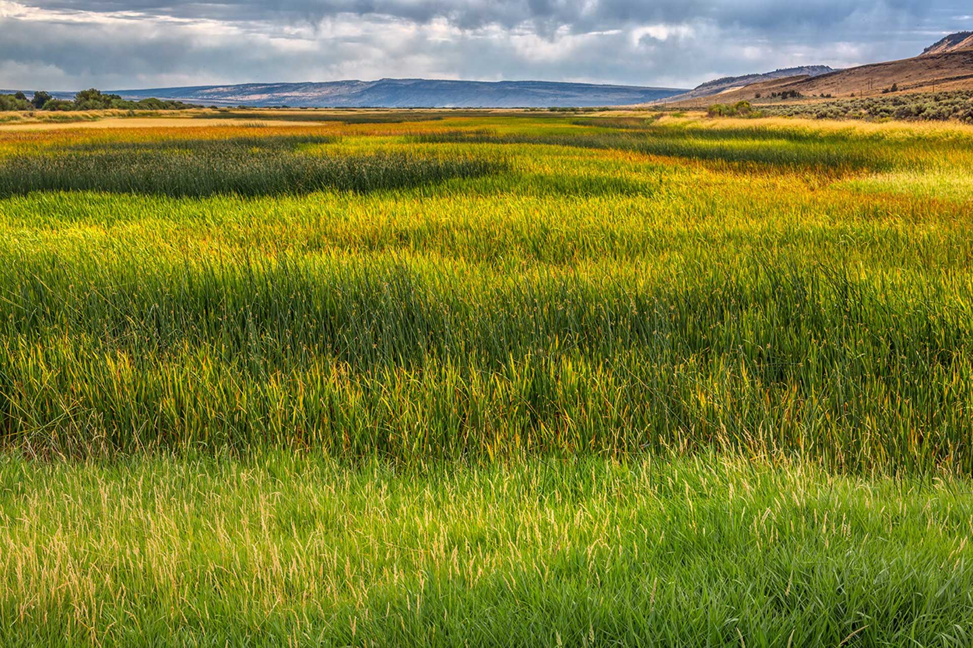
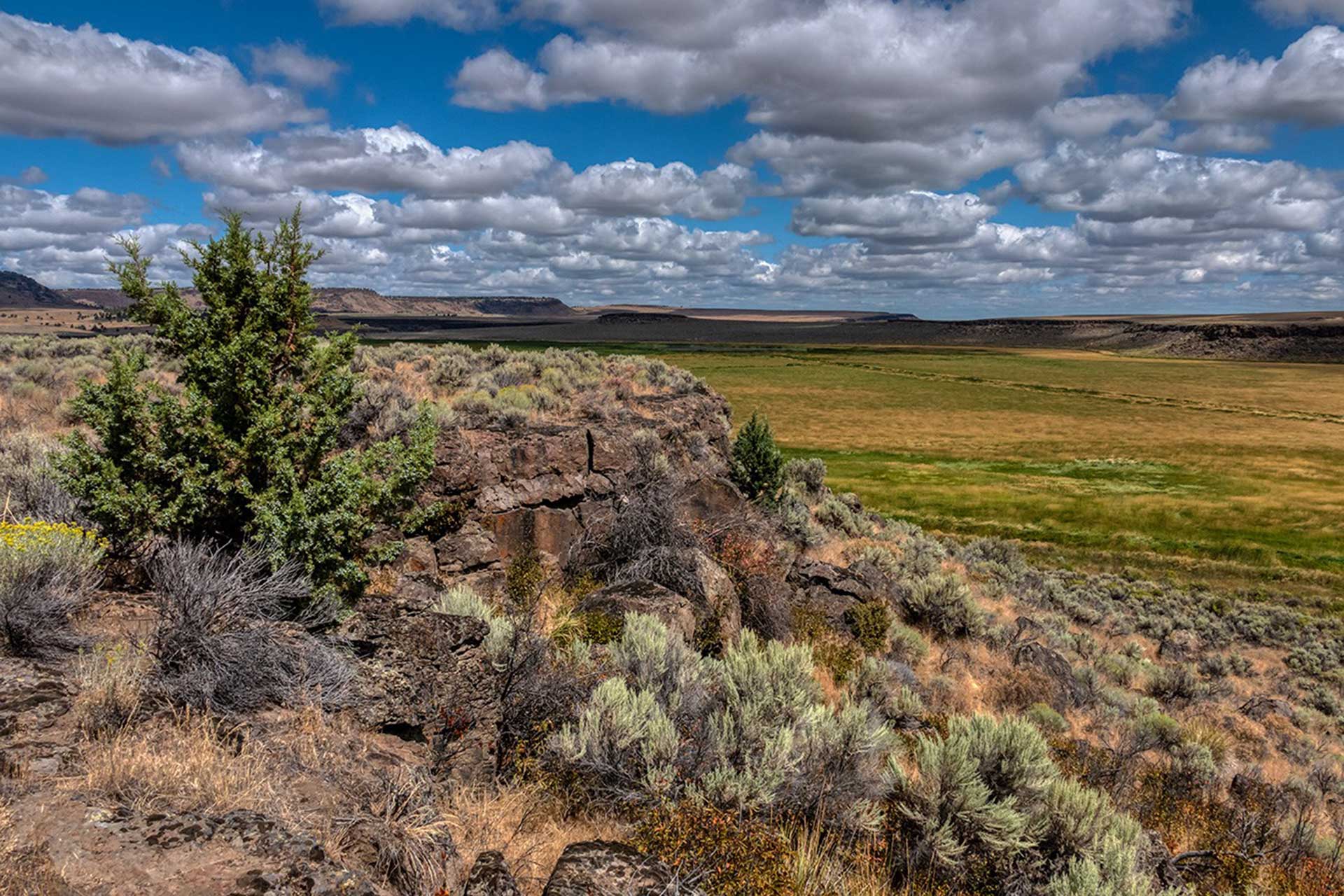
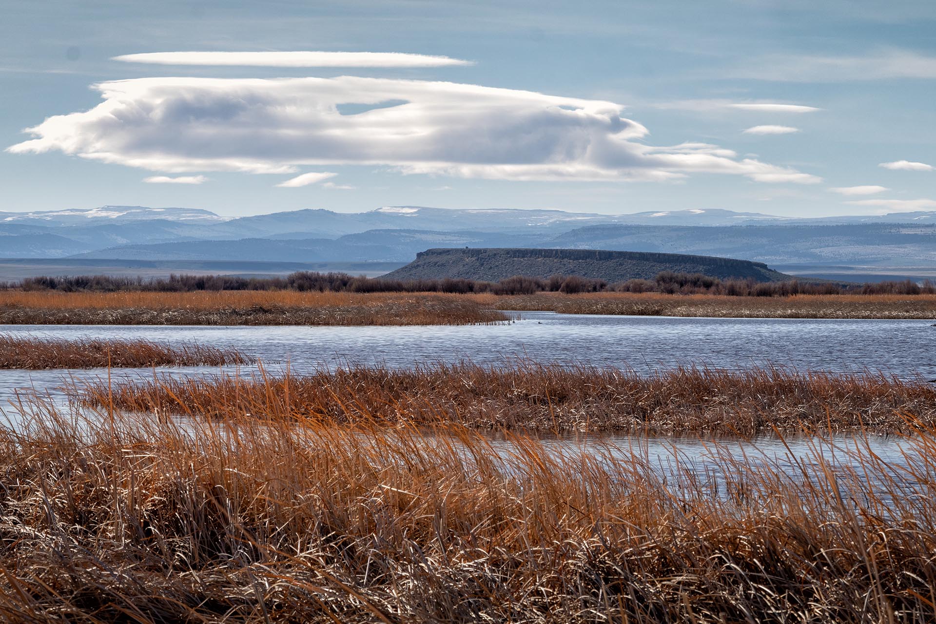
Situated in the wide-open spaces of the Harney Basin on the northern edge of the Great Basin, Malheur Refuge’s 292 square miles feature a diversity of habitat types: vast cattail and bulrush wetlands, lakes, dry alkali playas, ponds, greasewood-covered flats, lush native grass meadows, long corridors of riparian vegetation, and sagebrush-covered hills bordered by basalt rimrock.
The diversity of wildlife habitat found at Malheur Refuge begins in the lowest elevations of the Harney Basin and expands southward along the Donner und Blitzen River to the base of Steens Mountain and northwest into the lower reaches of the Silver Creek drainage.
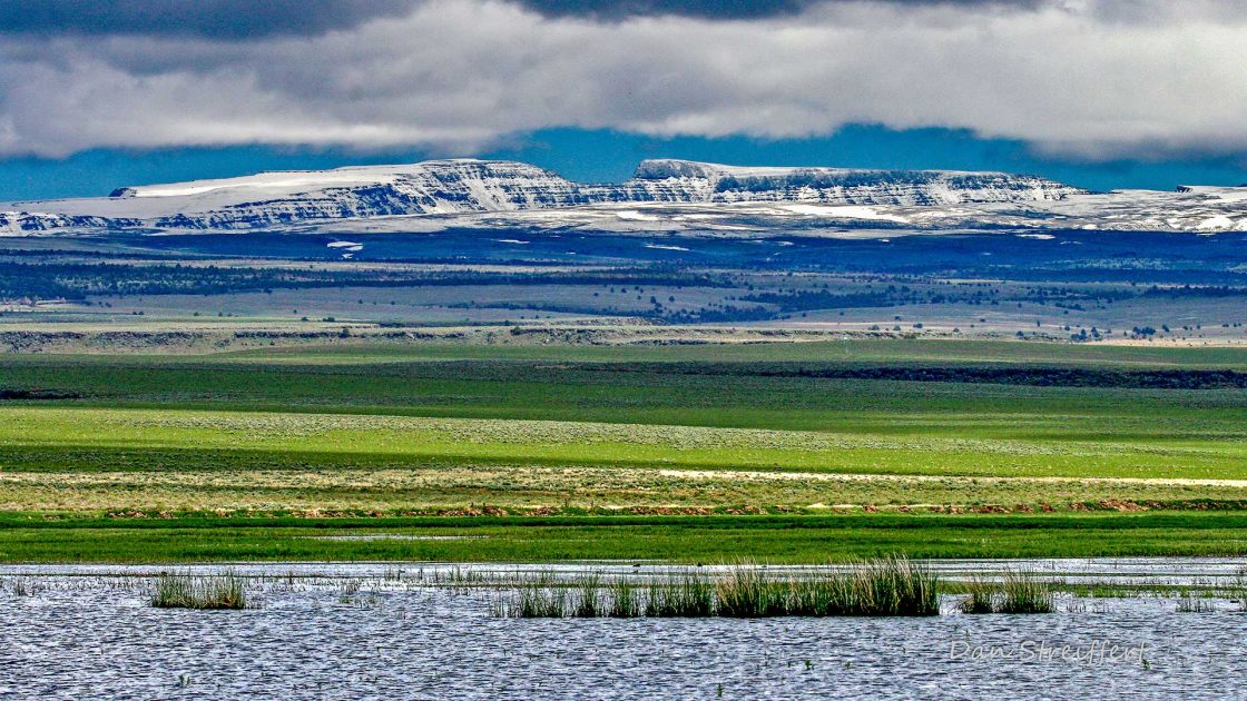
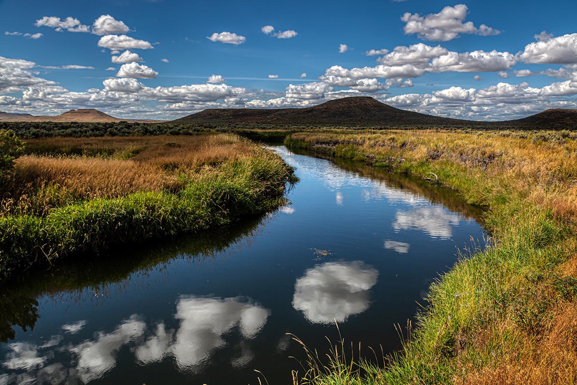
Three shallow playa lakes—Malheur, Mud and Harney Lake—are located in the lowest portion of this vast basin and receive life-producing water from the surrounding hills and mountains. Most of the water reaching the lakes arrives in the spring as snow melts and flows southward down the Silvies River, northward in the Donner und Blitzen River, and through the Silver Creek drainage from the northwest.
With an average annual precipitation of only nine inches, a drought year can result in extremely dry conditions, reducing the lakes to a mere fraction of their former size or turning them into alkali-covered playas. The area surrounding the lakes is relatively flat, so a one-inch rise in the water level will put almost three square miles of adjacent land underwater.
An extremely abundant year of rain and snow can force water to rise beyond the boundaries of the Refuge to cover surrounding lands—doubling or tripling the size of the marsh. In the mid-1980’s three years of above-normal snowfall forced Malheur Lake beyond the Refuge boundary; the lake grew from 67 square miles to more than 160 square miles. The reverse is also possible: in 1992 Malheur Lake shrank to 200 acres. In wet years, an estimated 25 million migratory birds use the Refuge to feed, breed or rest during migration.
Steens Mountain & The Blitzen River
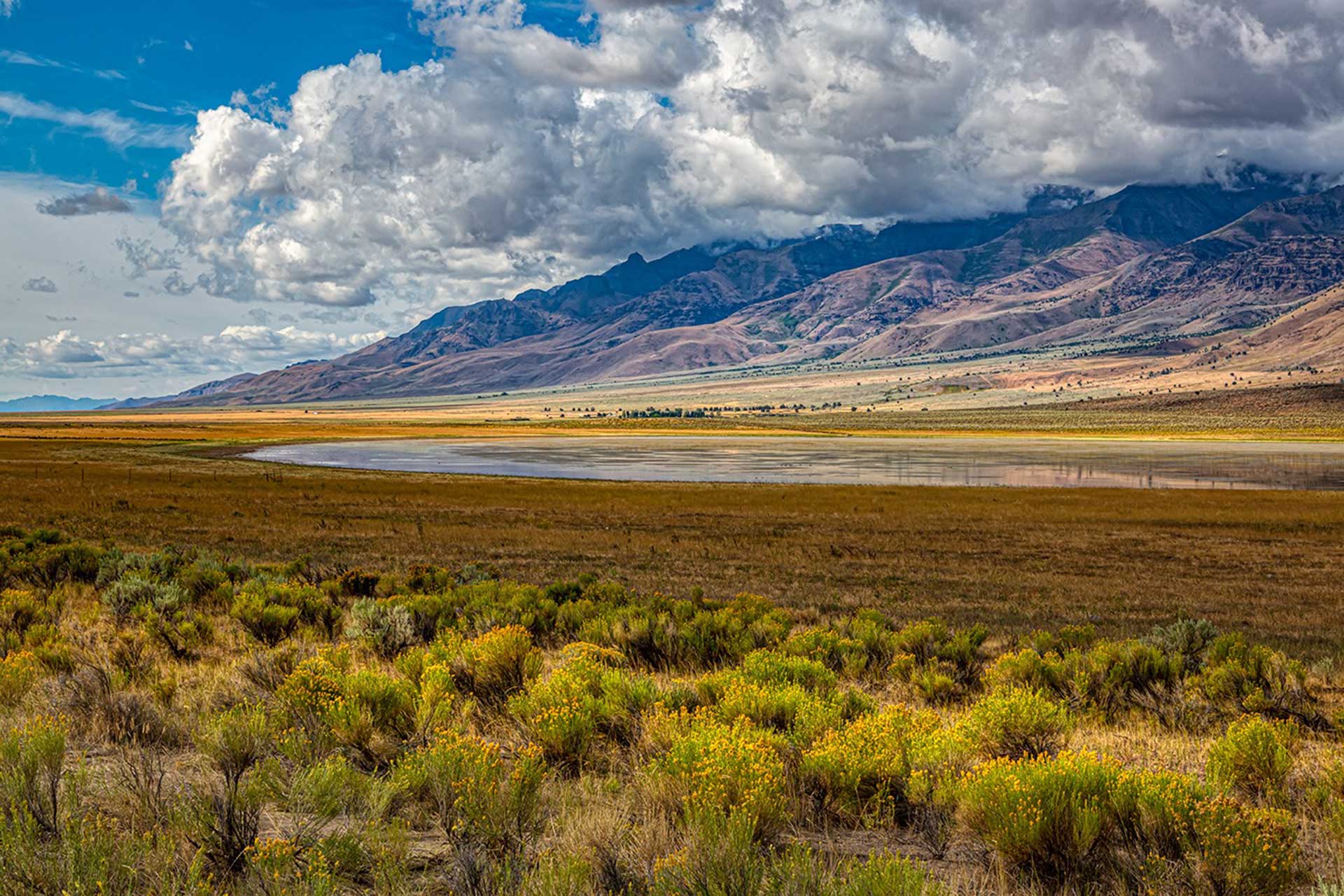
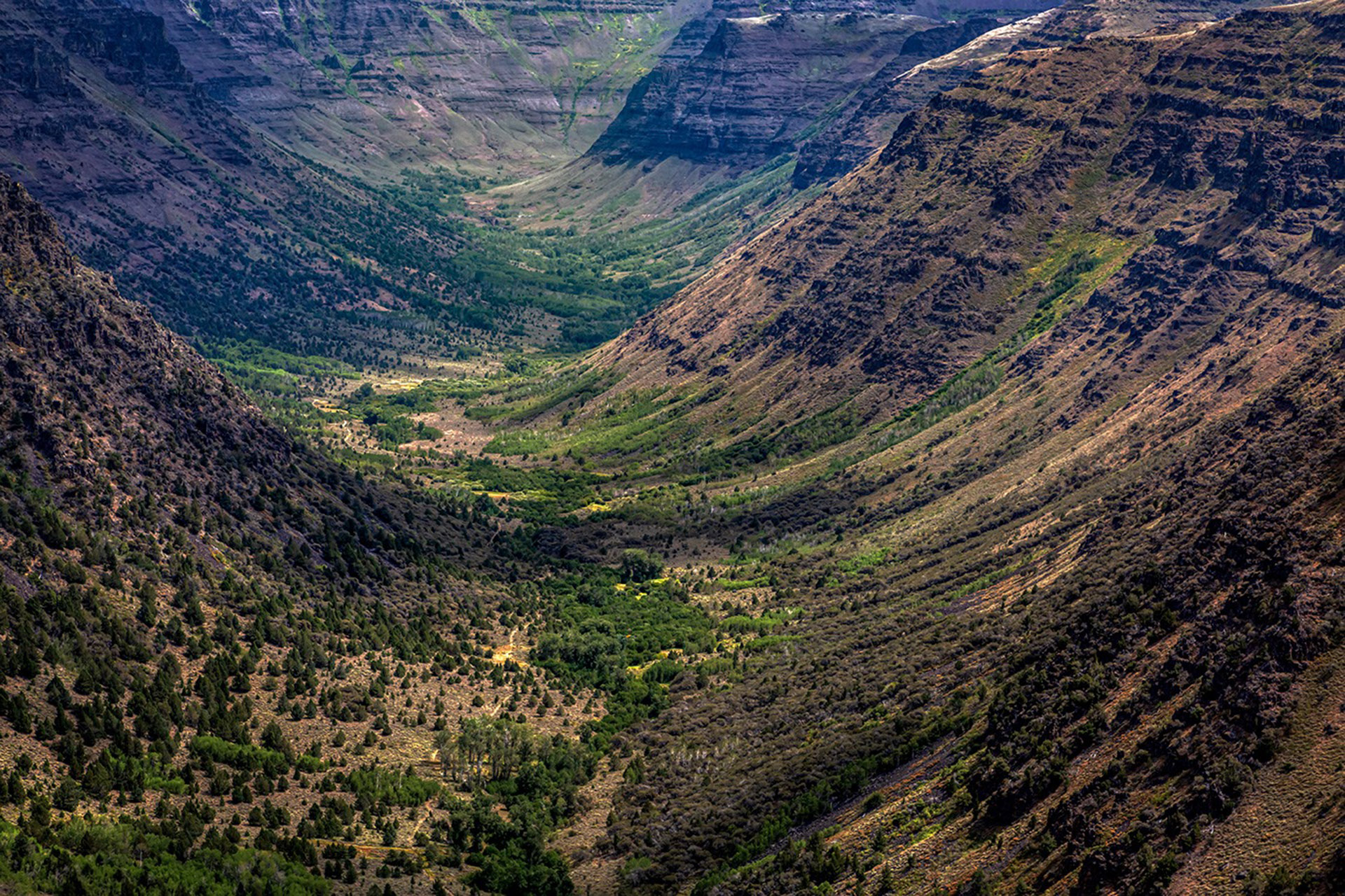
Nearly ten million years ago, tectonic faults and regional uplifting began the formation of Steens Mountain on the south side of the Harney Basin. Eventually rising 9,700 feet above the surrounding valleys, Steens Mountain developed a vast ice field covering the upper reaches of the mountain around one million years ago.
More recent glaciers carved the spectacular U-shaped gorges on the flanks of the mountain. As the glaciers slowly moved downhill, their weight and movement ground the rock below into a fine powder or loess. This loess was captured in the numerous streams flowing from beneath the glaciers and carried down the Donner und Blitzen River and other creeks on the western flank of the mountain to be deposited on the floodplain of the Blitzen Valley. Turbulent downslope winds pushed these deposits of loess around the valley floor, eventually forming a series of low, vegetation-covered dunes at the south end of the river valley.
The gradual western slope of Steens Mountain boasts an impressive 75-square-kilometer contiguous area above 8,000 feet in elevation–unique among ranges in southeast Oregon. This enormous sheet collects precipitation flowing eastward from the Pacific, up to 28 inches per year at the highest elevations.
Further enhancing this effect is the fact that the northwest Great Basin experiences more winter precipitation and lower average temperatures than the rest of the Great Basin. Thus Steens acts as an enormous winter reservoir for the surrounding lowlands: Snowpack on Steens translates to life-giving water on the Refuge, even through the hottest months of summer.
Malheur's Comprehensive Conservation Plan (CCP)
Through collaborative efforts between local ranchers, conservationists, tribal members, private landowners, and state and federal land managers, Malheur Refuge and its partners (including FOMR) established a Comprehensive Conservation Plan in 2013 that benefits both wildlife and the economy.
The purpose
The purpose of a CCP is to specify a management direction for the Refuge for the next 15 years.
The goals, objectives, and strategies for improving Refuge conditions—including the types of habitat to be provided, partnership opportunities, and management actions needed to achieve desired conditions – are described in the CCP.
The U.S. Fish and Wildlife Service’s preferred alternative for managing Malheur Refuge, as well as its effects on the human environment, are described in the CCP as well.
Plan Details
Download and View the CCP Documents from the U.S. Fish & Wildlife Service Site.
Be a Malheur Refuge Advocate.
You can become a Malheur Refuge champion by joining the Friends of Malheur and together we can advocate for a secure and more prosperous future for Malheur National Wildlife Refuge and our national wildlife refuge system.
