Written by Peter Pearsall/Photo by Peter Pearsall
“The mountains form a ribbon of familiar landscape separating two vast spaces, blue haze above, a mosaic of cracked mud below. The desert almost seems to mirror the sky in size. It complements it and completes it.” -Stephen Trimble, “The Sagebrush Ocean” (1989)
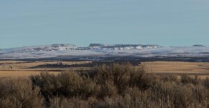
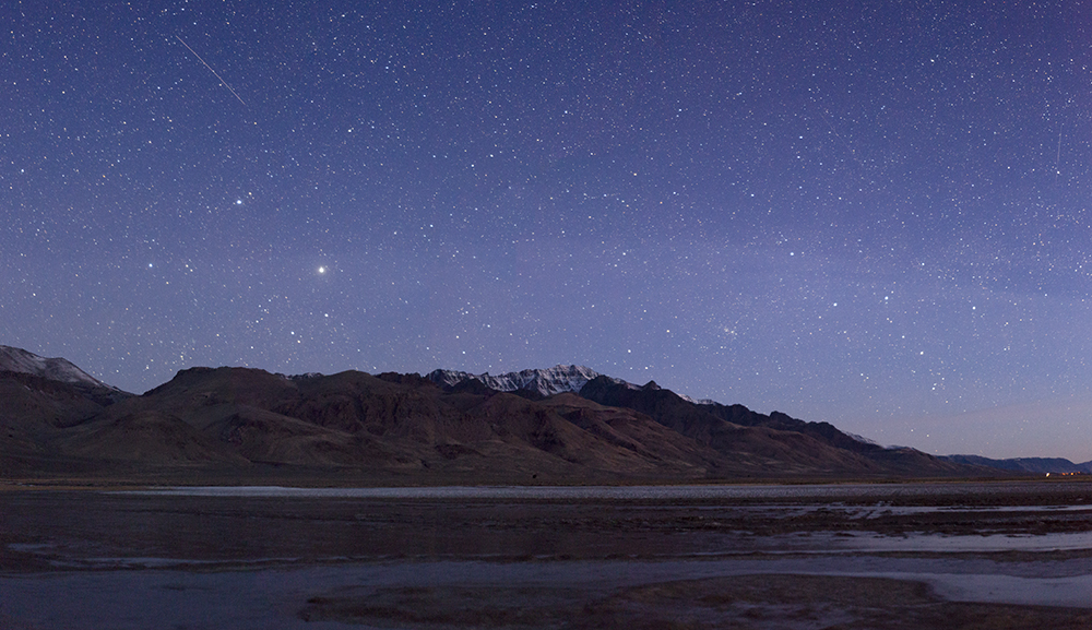
Southeast of the Refuge lies the pancake-flat expanse of the Alvord Desert, an 84-square-mile former lakebed along the eastern escarpment of Steens Mountain. In much of the Great Basin, blocks of the Earth’s crust that fractured along fault lines have gradually tilted under their own weight, creating sloped mountain ranges that generally trend north-to-south. Steens Mountain is a striking example of this fault-block phenomenon: 50 miles long from north to south, its gentle western slope rising to 9,734 feet and dropping abruptly into the basin of the Alvord, more than 5,000 feet below.
Basin and range topography—those hundreds of north-south-trailing mountain ranges separated by broad, flat basins—owes its almost orderly appearance to the tectonic peregrinations of the Pacific Plate. Extending from approximately San Francisco to Tokyo and from Anchorage almost to New Zealand, the Pacific Plate is on a leisurely course headed due northwest, three inches a year, and the North American continent seems reluctant to let it go. As the Pacific Plate shears up and away from the continent, enormous cracks called normal faults split western North America’s crust into roughly parallel blocks, which tilt as one crustal edge slips beneath the other. An upwelling of magma beneath the stretched-thin crust helped to spread these blocks apart, giving rise to the Great Basin’s mounded convexity, in which the highest elevations lie at the basin’s center.
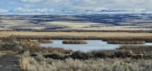
The ascending edges of these crustal blocks, now thrust up from the plain, become subject to an eternity of weathering processes: wind, rain, snow and ice. All the eroded sediment flows down into the gaps between faults, creating wide basins adjoining ranges. In days of yore these basins were filled with water, but few such lakes remain. Most are now dry, barren, leveled by millennia of alluvial deposits. These basins are some of the flattest areas on earth.