Written by Janelle Wicks, FOMR Director with content from Michael McKeag, DarkSky Oregon
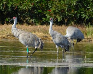
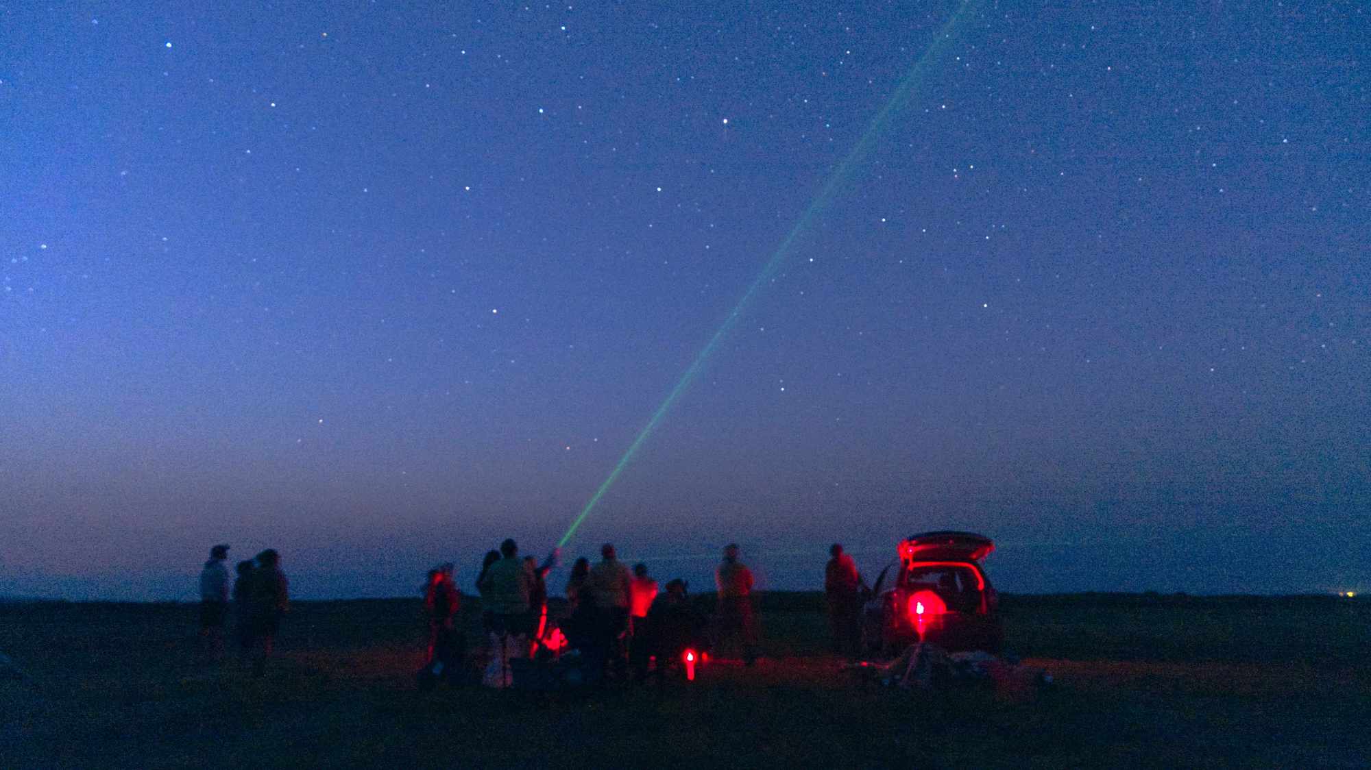
Photo of Burns/Hines light footprint (left) and Milky Way as seen from 72 miles SW within the recently designated Oregon Outback Dark Sky Sanctuary. Taken by Michael McKeag, DarkSky Oregon
DarkSky Oregon is on a mission to quantitatively measure, interpret, and share skyglow measurements in Oregon to better understand the current level of light pollution in comparison to other regions and to document any changes over a five-year period. What is skyglow, you may be asking yourself. Skyglow is the glowing sky at night as a result of both artificial or man-made light and natural light.
This data is being collected by a network of continuously recording Sky Quality Meters (SQMs) across Oregon. DarkSKy Oregon aims to have at least one SQM in each county of Oregon with the ultimate goal of colling date that will help to inform action toward healthier and safer communities with less light pollution.
Harney County just got its 4th SQM up and running thanks to coordination between DarkSky Oregon, Friends of Malheur NWR, and Hines Middle School Science Teacher Katie Sorenson.
Katie installed the SQM with her students last month and is working with them to craft and answer big questions about the night sky, light pollution, and the importance of preserving dark skies for wildlife and people. They did their first download of data from the reader on October 17th from the preceding night. On the night of 16-17 October the moon was waxing, reaching full at 04:25 on 17 October.

Michael McKeag has generously volunteered his time and expertise to conduct a deeper inventory of Malheur NWR’s lighting fixtures using a technique that will produce a GSI map of fixtures, their functionality, their DarkSky compliance, and recommendations for replacement fixtures where needed. This information will also inform FOMR as to where they may install up to two additional SQMs and how to expand DarkSky outreach and education in Harney County. This work is being supported by the National Wildlife Refuge’s O’Brian Prize and donors like YOU!