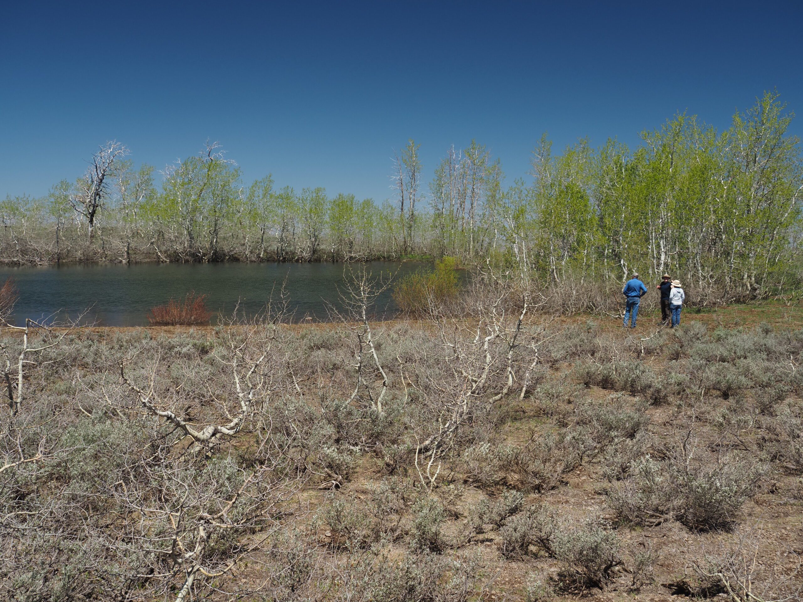
Written by Peter Pearsall/Photo of Lake Abert by Pavlina Slezak
The Spanish word playa means “beach”, “shore”, or “seacoast”. Somehow, in the arid West, the word has come to refer specifically to dry, non-vegetated flat areas at the lowest sections of undrained desert basins.
Because these basins have no outlet to larger bodies of water, any precipitation that falls during cooler weather often pools up on playas until warmer temperatures dry them out. Salts and other minerals, abandoned by evaporation, accumulate to toxic levels, inhibiting the growth of all but the most halophytic organisms.
Over millennia, as rocks, gravel, and sand tumbled down toward the bottoms of these basins, larger clasts settled out first around the perimeter, while smaller particles like clay and silt washed out onto the lowest, flattest parts. This natural sorting of sediments leads to the striking uniformity of playa floors.
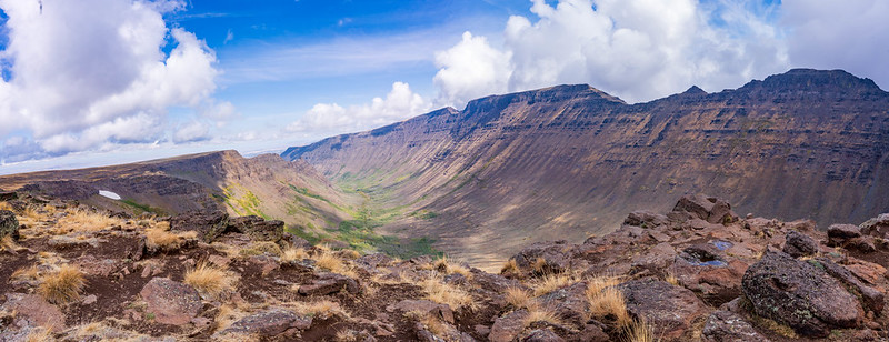
In much of the Great Basin, blocks of the Earth’s crust that fractured along fault lines have gradually tilted under their own weight, creating sloped mountain ranges separated by wide, flat basins. Steens Mountain in southeast Oregon is a striking example of this basin-range phenomenon: 50 miles long from north to south, its gentle western slope rises to 9,734 feet and drops abruptly into the basin of the Alvord Desert, more than 5,000 feet below.
In wetter epochs these basins often filled with water, sometimes creating enormous lakes and inland seas. Most of these terminal basins have gone dry or are only inundated seasonally; a few, such as the broad, shallow expanses of Malheur, Harney and Mud lakes at Malheur Refuge, are fed by snowmelt and retain varying amounts of water throughout each year.


