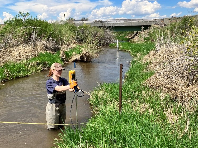
So far during my internship here at Malheur National Wildlife Refuge, I have been collecting data for irrigation and water rights use for the refuge. To do this, I have been using a Flow Tracker at each of the following four locations: East Canal, West Canal, Center Ditch, and Sodhouse. The other two locations, Buena Vista Canal and Stuble Field Ditch, are currently too deep to measure; the Flow Tracker can only measure a maximum stream depth of four feet. (NOTE: FOMR assisted MNWR with the purchase of this equipment in 2022!)
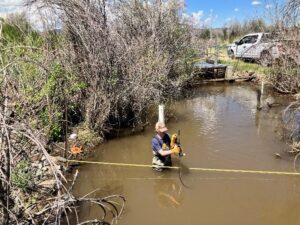

The Flow Tracker measures stream flow in cubic feet per second, water temperature, and percent error of the results. For results to be considered reliable and accurate, error must be below 5%. Each location requires at least 20 data points for the Flow Tracker to provide the most accurate results. With this, measurements are taken in 0.6- or 0.8-foot intervals across the channel’s width. We also collect data from pressure transducers (specifically the Troll Loggers 700) which show us changes in surface elevation, water pressure in pounds per square inch (PSI), and water temperature. Friends of Malheur provided the necessary funding for Malheur NWR to purchase these data loggers.
Measuring stream flow is a full-day ordeal; when I measured East Canal and West Canal with Travis Miller’s guidance, time flew and before I knew it, we had been working for six hours. Though this is tedious work, the feeling of the cool water rushing over my waders counteracts the hot sun, and the beautiful scenery paired with the sounds of surrounding birds make me appreciate my time in the field.
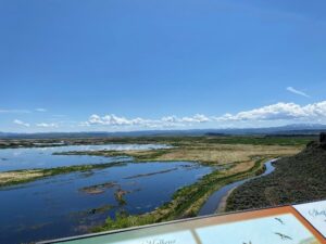
I’ve also gotten the chance to explore the refuge on my own once my delegated tasks have been completed. So far, I’ve visited Frenchglen, hiked along the Barnes Springs footpath, and soaked in the gorgeous views seen from the Buena Vista Overlook. In the coming weeks, I am excited to dip my toes into more data collection projects and find more adventures within the refuge!
